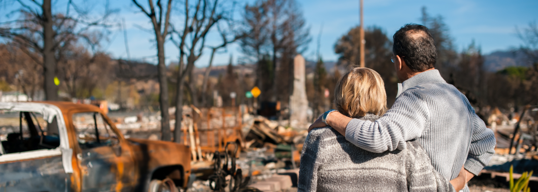
Climate change is a threat to human well-being and planetary health. There is a rapidly closing window of opportunity to secure a liveable and sustainable future for all. The choices and actions implemented in this decade will have impacts now and for thousands of years.
The Intergovernmental Panel on Climate Change (IPCC) is the peak body responsible for assessing the scientific basis of climate change.
Established in 1988, the IPCC utilises contributions from thousands of experts from all over the world to review scientific information and develop assessment reports.
Since its commencement, the IPCC has published six Assessment Reports. The most recent assessment report, the Sixth Assessment Report, was finalised in March 2023.
The Sixth Assessment Report provides an overview of the current state of knowledge around climate change. It took hundreds of scientists eight years to complete and includes thousands of pages. It provides one very clear message – act now or it will be too late. Our window to avoid the worst of climate change is rapidly closing. This our last warning.
A snapshot of the main findings of the report are provided below:
- Australia is one of the most vulnerable developed countries to climate impacts.
- It is unequivocal that human influence has warmed the atmosphere, ocean and land
- Global surface temperature reached 1.1°C above 1850–1900 in 2011–2020
- Increases in extreme heat events have resulted in human mortality and morbidity
- Compound heatwaves and droughts will become more frequent and concurrent
- With further warming, climate change risks will become increasingly complex and more difficult to manage.
- Limiting human-caused global warming requires net zero CO2 emissions.
- Deep, rapid and sustained mitigation and accelerated implementation of adaptation actions in this decade would reduce projected losses and damages for humans and ecosystems
Find out what we are doing to tackle climate change and how you can be part of the solution too