Campbelltown's Streets and Suburbs - a History
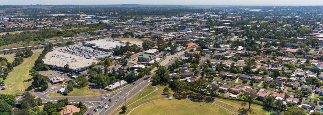
Located 53 kilometres southwest of Sydney, Campbelltown City covers an area of 312 square kilometres extending from Glenfield in the north, Menangle Park in the south, the Scenic Hills in the west and the Georges Rivers in the east.
How did Campbelltown's streets and suburbs get given their names and how long have they been here? You find the answer to these questions and more, including details on major parks, schools and public facilities featured in these history of our suburbs pages.
- Airds - Honouring bushland and small farms
- Ambarvale - Remembering one of England's greatest novelists
- Bardia - Strong military history
- Blair Athol - Honouring the Blair Athol group of buildings
- Blairmount - An old stomping ground for Clydesdales
- Bow Bowing - Honouring our parks - from Warrumbungle to Woolwonga
- Bradbury - Campbelltown's "Garden Suburb"
- Eagle Vale - Where two shallow streams "Eagle Creek" and "Vale Brook" once flowed
- Englorie Park - Named after the historic Victorian home
- Eschol Park - A once-prized vineyard
- Gilead - Named after Israel's 'breadbasket'
- Glen Alpine - The golf course estate
- Glenfield - Famous property founded by early colonial surgeon, Charles Throsby
- Ingleburn - Was it really named after a bend in the creek?
- Kearns - "People of the look-out place"
- Kentlyn - Bushland haven of the "Kent Farmers"
- Leumeah - Where John Warby chose to "Rest"
- Long Point - Named after its geographic location
- Raby - "A rose by any other name is still a rose..."
- Rosemeadow - Paying tribute to Campbelltown's pioneer dam builder
- Ruse - Remembering Australia's first farmer
- Wedderburn - Thriving orchards in the bush
- Woodbine - A beachside address - forty kilometres from the coast