About Coonamble
Coonamble was declared a municipality in 1880.
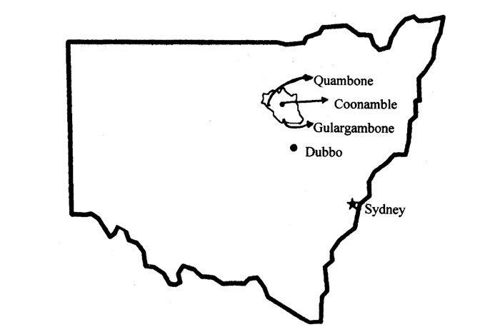
The small country town is located on the Castlereagh River, 550km north-west of Sydney (approx. 6.5 hours) in the Outback of New South Wales. Although small in population, Coonamble is home to around 2,666 people (as of 2021 - Census).
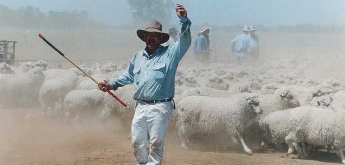
Renowned for its diversified agricultural industries, including sheep and cattle production, significant horse industry and a number of famous stud farms. Coonamble Shire is one of the most productive agricultural regions in Western NSW.
Map of Coonamble:
Coonamble Shire Logo
In June 2020, Coonamble Shire Council adopted a Masterplan for the Local Environment Area which outlined a vision to guide growth and development over the next 20 years. The Masterplan process identified what is important to their community and how the quality of their LGA can be conserved, improved and enhanced.
Branding was included in the Masterplan, and as a result a new corporate logo and refreshed tourism logo was adopted.
New Corporate Logo

This corporate logo will be included on outward correspondence to locals, such as, rates notices, booking forms, application forms, job notices, media releases and community newsletters.
New Tourism Logo
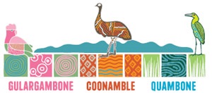
This tourism logo will be included on outward correspondence to locals, such as, Visit Coonamble website, marketing tools (brochures, welcome signage and social media).
History of Coonamble
Prior to European settlement, the area was inhabited by the Kawambarai, Kamilaroi and Weilwan Aboriginal groups.
In 1840, James Walker established the first run in the area. He had named his property 'Koonamble'. It became a popular campsite for passing stockmen.
Significant moments in Coonamble's history
- 1859 - The towns first post office was established
- 1861 to 1862 - A court house and lock-up were built
- 1869 - First public school was built
- 1870 - A police station and stables were built
- 1880 - Coonamble was declared a municipality
- 1883 - A bridge was built across the Castlereagh River
- 1903 - The railway arrived from Dubbo, NSW.
History of Coonamble Shire
With the Warrumbungle National Park on one side and the Western Plains and Macquarie Marshes on the other side of the shire, Coonamble offers the perfect combination of a rich history and country living area. The shire is a part of the NSW State electorate of Barwon and the Federal electorate of Parkes.
Part of the Orana region, the shire comprises the towns of Coonamble and Gulargambone, with the village of Quambone. Less than two hour's drive by road from Dubbo and six hours from Sydney. There is also a daily train and coach service with Transport NSW.